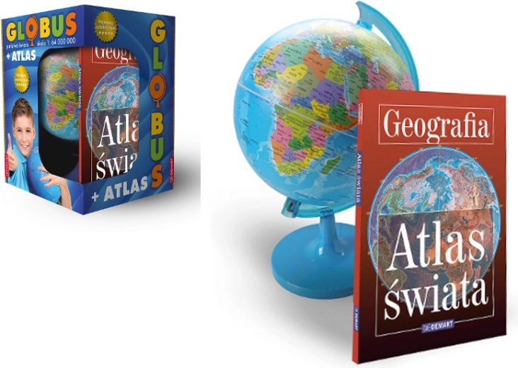
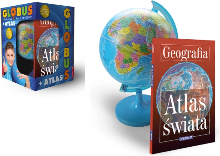
Political Globe with World Atlas is an illustrative educational aid for exploring the Earth, continents, oceans, and countries. The spherical model shows the shapes and relative positions of places on the planet more accurately than a typical flat map.
Discover the world from a new perspective. The political globe depicts the Earth in its natural spherical form, making it easier to perceive the true shapes of continents, islands, and oceans. It also shows the countries of the world and their relative locations.
The tilted Earth axis helps clearly explain the changing length of day and night throughout the year. The globe is suitable for home learning and classroom teaching, and together with the world atlas, it offers a practical way to learn about geography.
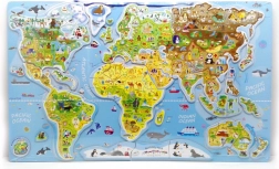
- Political world map showing countries
- Spherical model of the Earth without the distortions typical of flat maps
- Clear depiction of continents, islands, and oceans
- Tilted Earth axis for a better understanding of natural phenomena
- World atlas as a supplement for learning about geography
Specifications
- Type
- political globe with world atlas
- Depiction
- countries, continents, islands, and oceans
- Earth model
- spherical
- Earth axis
- tilted